
Thank you for supporting this site ❤️
Make a donation
Make a donation
Villarroañe topographic map
Click on the map to display elevation.
Thank you for supporting this site ❤️
Make a donation
Make a donation
About this map
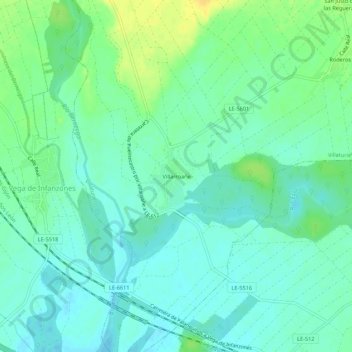
Name: Villarroañe topographic map, elevation, terrain.
Location: Villarroañe, Villaturiel, León, Castilla y León, 24346, España (42.46255 -5.53232 42.50255 -5.49232)
Average elevation: 779 m
Minimum elevation: 771 m
Maximum elevation: 795 m
Thank you for supporting this site ❤️
Make a donation
Make a donation