
Thank you for supporting this site ❤️
Make a donation
Make a donation
Trøym topographic map
Click on the map to display elevation.
Thank you for supporting this site ❤️
Make a donation
Make a donation
About this map
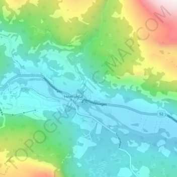
Name: Trøym topographic map, elevation, terrain.
Location: Trøym, Hemsedal, Buskerud, 3560, Norvège (60.84492 8.53930 60.88492 8.57930)
Average elevation: 848 m
Minimum elevation: 606 m
Maximum elevation: 1,599 m
Thank you for supporting this site ❤️
Make a donation
Make a donation