
Thank you for supporting this site ❤️
Make a donation
Make a donation
Priédamu topographic map
Click on the map to display elevation.
Thank you for supporting this site ❤️
Make a donation
Make a donation
About this map
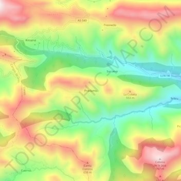
Name: Priédamu topographic map, elevation, terrain.
Location: Priédamu, Llanes, Asturias, Spain (43.36907 -5.00834 43.40907 -4.96834)
Average elevation: 422 m
Minimum elevation: 122 m
Maximum elevation: 752 m
Thank you for supporting this site ❤️
Make a donation
Make a donation