
Thank you for supporting this site ❤️
Make a donation
Make a donation
Lebong Tandai topographic map
Click on the map to display elevation.
Thank you for supporting this site ❤️
Make a donation
Make a donation
About this map
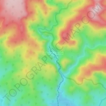
Name: Lebong Tandai topographic map, elevation, terrain.
Location: Lebong Tandai, Bengkulu Utara, Bengkulu, Sumatra, Indonesia (-3.04846 101.91104 -3.00846 101.95104)
Average elevation: 311 m
Minimum elevation: 137 m
Maximum elevation: 517 m
Thank you for supporting this site ❤️
Make a donation
Make a donation