
Thank you for supporting this site ❤️
Make a donation
Make a donation
Kıryaka topographic map
Click on the map to display elevation.
Thank you for supporting this site ❤️
Make a donation
Make a donation
About this map
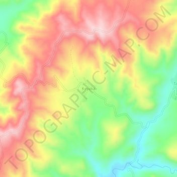
Name: Kıryaka topographic map, elevation, terrain.
Location: Kıryaka, Korkut, Muş, Eastern Anatolia Region, Turkey (38.79207 41.95294 38.83207 41.99294)
Average elevation: 1,637 m
Minimum elevation: 1,466 m
Maximum elevation: 1,792 m
Thank you for supporting this site ❤️
Make a donation
Make a donation