
Thank you for supporting this site ❤️
Make a donation
Make a donation
Vágfelli topographic map
Click on the map to display elevation.
Thank you for supporting this site ❤️
Make a donation
Make a donation
About this map
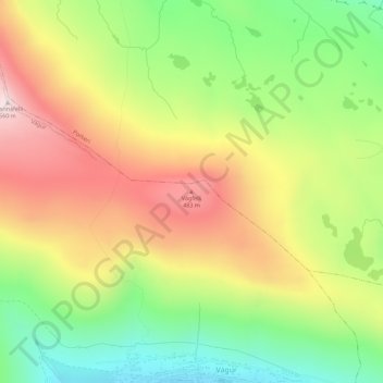
Name: Vágfelli topographic map, elevation, terrain.
Location: Vágfelli, Vágur, Suðuroyar sýsla, 900, Færøerne (61.48719 -6.81241 61.48729 -6.81231)
Average elevation: 274 m
Minimum elevation: 25 m
Maximum elevation: 550 m
Thank you for supporting this site ❤️
Make a donation
Make a donation