
Thank you for supporting this site ❤️
Make a donation
Make a donation
Knúkurin topographic map
Click on the map to display elevation.
Thank you for supporting this site ❤️
Make a donation
Make a donation
About this map
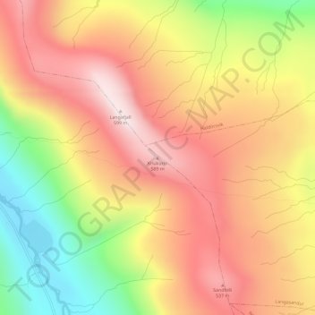
Name: Knúkurin topographic map, elevation, terrain.
Location: Knúkurin, Saksun, Streymoyar sýsla, 436, Færøerne (62.23625 -7.11040 62.23635 -7.11030)
Average elevation: 361 m
Minimum elevation: 43 m
Maximum elevation: 600 m
Thank you for supporting this site ❤️
Make a donation
Make a donation