
Thank you for supporting this site ❤️
Make a donation
Make a donation
Reynið topographic map
Click on the map to display elevation.
Thank you for supporting this site ❤️
Make a donation
Make a donation
About this map
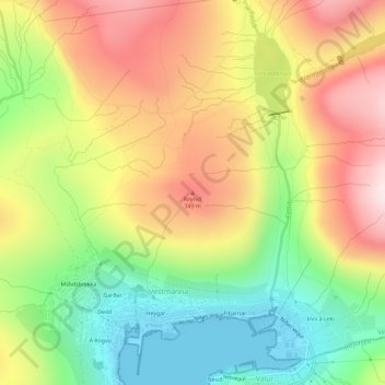
Name: Reynið topographic map, elevation, terrain.
Location: Reynið, Vestmanna, Streymoyar sýsla, 350, Færøerne (62.16288 -7.16247 62.16298 -7.16237)
Average elevation: 209 m
Minimum elevation: 0 m
Maximum elevation: 436 m
Thank you for supporting this site ❤️
Make a donation
Make a donation