
Thank you for supporting this site ❤️
Make a donation
Make a donation
Cerro Galán topographic map
Click on the map to display elevation.
Thank you for supporting this site ❤️
Make a donation
Make a donation
About this map
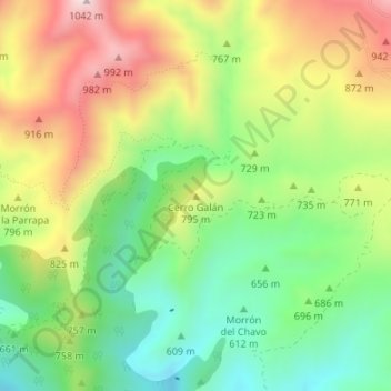
Name: Cerro Galán topographic map, elevation, terrain.
Location: Cerro Galán, Felix, Almería, Andalusien, Spanien (36.86238 -2.68152 36.86248 -2.68142)
Average elevation: 720 m
Minimum elevation: 491 m
Maximum elevation: 1,025 m
Thank you for supporting this site ❤️
Make a donation
Make a donation