
Thank you for supporting this site ❤️
Make a donation
Make a donation
La Ye topographic map
Click on the map to display elevation.
Thank you for supporting this site ❤️
Make a donation
Make a donation
About this map
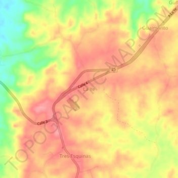
Name: La Ye topographic map, elevation, terrain.
Location: La Ye, Sahagún, Sabanas, Córdoba, Colombia (8.79914 -75.52071 8.83914 -75.48071)
Average elevation: 122 m
Minimum elevation: 60 m
Maximum elevation: 155 m
Thank you for supporting this site ❤️
Make a donation
Make a donation