
Thank you for supporting this site ❤️
Make a donation
Make a donation
Sungai Air Putih topographic map
Click on the map to display elevation.
Thank you for supporting this site ❤️
Make a donation
Make a donation
About this map
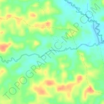
Name: Sungai Air Putih topographic map, elevation, terrain.
Location: Sungai Air Putih, Jambi, Indonesia (-1.46387 103.33398 -1.45662 103.36845)
Average elevation: 31 m
Minimum elevation: 12 m
Maximum elevation: 57 m
Thank you for supporting this site ❤️
Make a donation
Make a donation