
Thank you for supporting this site ❤️
Make a donation
Make a donation
Stångviken topographic map
Click on the map to display elevation.
Thank you for supporting this site ❤️
Make a donation
Make a donation
About this map
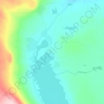
Name: Stångviken topographic map, elevation, terrain.
Location: Stångviken, Krokoms kommun, Provinz Jämtland, Schweden (63.72276 14.27962 63.76276 14.31962)
Average elevation: 443 m
Minimum elevation: 382 m
Maximum elevation: 658 m
Thank you for supporting this site ❤️
Make a donation
Make a donation
Other topographic maps
Click on a map to view its topography, its elevation and its terrain.
Thank you for supporting this site ❤️
Make a donation
Make a donation
Thank you for supporting this site ❤️
Make a donation
Make a donation