
Thank you for supporting this site ❤️
Make a donation
Make a donation
Ålesund topographic map
Click on the map to display elevation.
Thank you for supporting this site ❤️
Make a donation
Make a donation
About this map
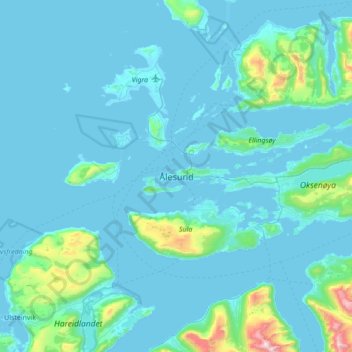
Name: Ålesund topographic map, elevation, terrain.
Location: Ålesund, Møre og Romsdal, 6002, Norway (62.31114 5.99518 62.63114 6.31518)
Average elevation: 100 m
Minimum elevation: -5 m
Maximum elevation: 1,399 m
Thank you for supporting this site ❤️
Make a donation
Make a donation