
Thank you for supporting this site ❤️
Make a donation
Make a donation
Bad Dürrenberg topographic map
Click on the map to display elevation.
Thank you for supporting this site ❤️
Make a donation
Make a donation
About this map
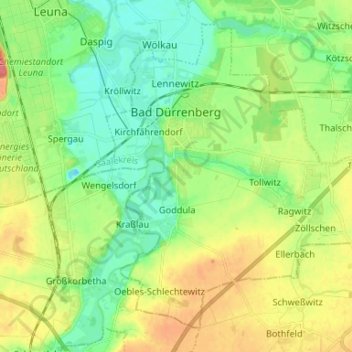
Name: Bad Dürrenberg topographic map, elevation, terrain.
Location: Bad Dürrenberg, Saalekreis, Saxony-Anhalt, 06231, Germany (51.24914 12.04029 51.32059 12.17213)
Average elevation: 107 m
Minimum elevation: 83 m
Maximum elevation: 144 m
Thank you for supporting this site ❤️
Make a donation
Make a donation