
Thank you for supporting this site ❤️
Make a donation
Make a donation
Gorači topographic map
Click on the map to display elevation.
Thank you for supporting this site ❤️
Make a donation
Make a donation
About this map
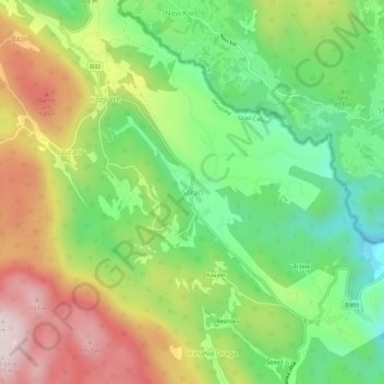
Name: Gorači topographic map, elevation, terrain.
Location: Gorači, Grad Čabar, Regione litoraneo-montana, 51307, Croazia (45.58822 14.58661 45.62822 14.62661)
Average elevation: 888 m
Minimum elevation: 662 m
Maximum elevation: 1,188 m
Thank you for supporting this site ❤️
Make a donation
Make a donation