
Thank you for supporting this site ❤️
Make a donation
Make a donation
Stråssa topographic map
Click on the map to display elevation.
Thank you for supporting this site ❤️
Make a donation
Make a donation
About this map
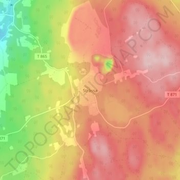
Name: Stråssa topographic map, elevation, terrain.
Location: Stråssa, Lindesbergs kommun, Örebro län, 711 77, Zweden (59.71935 15.17870 59.75935 15.21870)
Average elevation: 196 m
Minimum elevation: 71 m
Maximum elevation: 272 m
Thank you for supporting this site ❤️
Make a donation
Make a donation
Other topographic maps
Click on a map to view its topography, its elevation and its terrain.