
Thank you for supporting this site ❤️
Make a donation
Make a donation
Mariënheem topographic map
Click on the map to display elevation.
Thank you for supporting this site ❤️
Make a donation
Make a donation
About this map
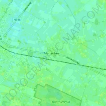
Name: Mariënheem topographic map, elevation, terrain.
Location: Mariënheem, Overijssel, Nederland, 8106, Nederland (52.36151 6.30238 52.40151 6.34238)
Average elevation: 7 m
Minimum elevation: 3 m
Maximum elevation: 11 m
Thank you for supporting this site ❤️
Make a donation
Make a donation