
Thank you for supporting this site ❤️
Make a donation
Make a donation
Puerto Nariño topographic map
Click on the map to display elevation.
Thank you for supporting this site ❤️
Make a donation
Make a donation
About this map
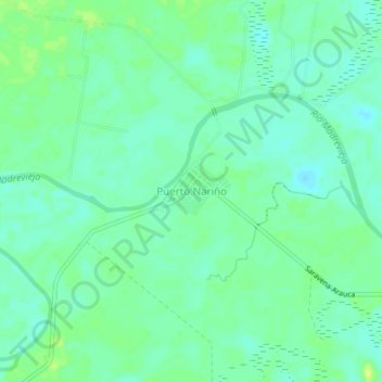
Name: Puerto Nariño topographic map, elevation, terrain.
Location: Puerto Nariño, Saravena, Arauca, RAP Llanos, Colombia (6.99075 -71.80306 7.03075 -71.76306)
Average elevation: 182 m
Minimum elevation: 175 m
Maximum elevation: 191 m
Thank you for supporting this site ❤️
Make a donation
Make a donation