
Thank you for supporting this site ❤️
Make a donation
Make a donation
El Torrejón topographic map
Click on the map to display elevation.
Thank you for supporting this site ❤️
Make a donation
Make a donation
About this map
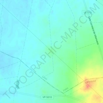
Name: El Torrejón topographic map, elevation, terrain.
Location: El Torrejón, Valderas, León, Castille-et-León, 24220, Espagne (42.03247 -5.45283 42.05247 -5.43283)
Average elevation: 760 m
Minimum elevation: 750 m
Maximum elevation: 797 m
Thank you for supporting this site ❤️
Make a donation
Make a donation