
Thank you for supporting this site ❤️
Make a donation
Make a donation
Les Agettes topographic map
Click on the map to display elevation.
Thank you for supporting this site ❤️
Make a donation
Make a donation
Les Agettes
The former municipality was located in the Hérens district, on the slopes south of Sion and above the Rhone valley. It is composed of three small villages: Crête-à-l'Œil, La Vernaz, and Les Agettes, which range in altitude between 980 and 1,200 m (3,220 and 3,940 ft) as well as scattered alpine pastures and the vacation resort of Mayens de l'Ours (built in 1982).
Thank you for supporting this site ❤️
Make a donation
Make a donation
About this map
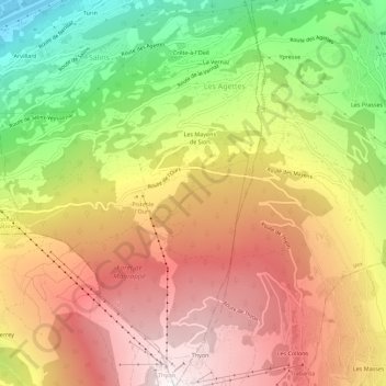
Name: Les Agettes topographic map, elevation, terrain.
Location: Les Agettes, Sion, Wallis, 1992, Switzerland (46.17805 7.34521 46.21673 7.38059)
Average elevation: 1,395 m
Minimum elevation: 484 m
Maximum elevation: 2,179 m
Thank you for supporting this site ❤️
Make a donation
Make a donation