
Thank you for supporting this site ❤️
Make a donation
Make a donation
Lonzée topographic map
Click on the map to display elevation.
Thank you for supporting this site ❤️
Make a donation
Make a donation
About this map
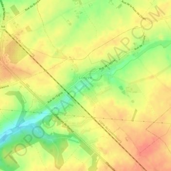
Name: Lonzée topographic map, elevation, terrain.
Location: Lonzée, Gembloux, Namur, Wallonie, Belgique (50.53971 4.70830 50.56404 4.75680)
Average elevation: 165 m
Minimum elevation: 132 m
Maximum elevation: 185 m
Thank you for supporting this site ❤️
Make a donation
Make a donation
Other topographic maps
Click on a map to view its topography, its elevation and its terrain.