
Thank you for supporting this site ❤️
Make a donation
Make a donation
Narlı topographic map
Click on the map to display elevation.
Thank you for supporting this site ❤️
Make a donation
Make a donation
About this map
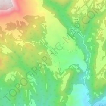
Name: Narlı topographic map, elevation, terrain.
Location: Narlı, Mut, Mersin, Mediterranean Region, Turkey (36.63928 33.61539 36.67928 33.65539)
Average elevation: 764 m
Minimum elevation: 438 m
Maximum elevation: 1,259 m
Thank you for supporting this site ❤️
Make a donation
Make a donation