
Seema Puri Tehsil topographic map
Interactive map
Click on the map to display elevation.
About this map
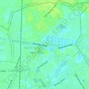
Name: Seema Puri Tehsil topographic map, elevation, terrain.
Location: Seema Puri Tehsil, Shahdara District, Delhi, 110093, India (28.68302 77.29688 28.71410 77.33111)
Average elevation: 209 m
Minimum elevation: 203 m
Maximum elevation: 216 m
Other topographic maps
Click on a map to view its topography, its elevation and its terrain.
Delhi
India > Delhi > Kotwali Tehsil > Delhi
Delhi, Kotwali Tehsil, Central Delhi, Delhi, 110006, India
Average elevation: 216 m