
Thank you for supporting this site ❤️
Make a donation
Make a donation
Húsareyn topographic map
Click on the map to display elevation.
Thank you for supporting this site ❤️
Make a donation
Make a donation
About this map
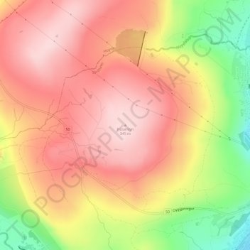
Name: Húsareyn topographic map, elevation, terrain.
Location: Húsareyn, Thorshavn, Streymoyar sýsla, 100, Færøerne (62.02332 -6.82249 62.02342 -6.82239)
Average elevation: 250 m
Minimum elevation: 95 m
Maximum elevation: 342 m
Thank you for supporting this site ❤️
Make a donation
Make a donation