
Thank you for supporting this site ❤️
Make a donation
Make a donation
Húsafjall topographic map
Click on the map to display elevation.
Thank you for supporting this site ❤️
Make a donation
Make a donation
About this map
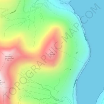
Name: Húsafjall topographic map, elevation, terrain.
Location: Húsafjall, Funningur, Eysturoyar sýsla, 475, Færøerne (62.27417 -6.97535 62.27427 -6.97525)
Average elevation: 270 m
Minimum elevation: 0 m
Maximum elevation: 777 m
Thank you for supporting this site ❤️
Make a donation
Make a donation