
Thank you for supporting this site ❤️
Make a donation
Make a donation
Passo di Riva topographic map
Click on the map to display elevation.
Thank you for supporting this site ❤️
Make a donation
Make a donation
About this map
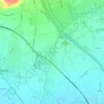
Name: Passo di Riva topographic map, elevation, terrain.
Location: Passo di Riva, Dueville, Vicenza, Veneto, 36031, Italy (45.62266 11.55482 45.66266 11.59482)
Average elevation: 61 m
Minimum elevation: 45 m
Maximum elevation: 124 m
Thank you for supporting this site ❤️
Make a donation
Make a donation