
Thank you for supporting this site ❤️
Make a donation
Make a donation
Šejby topographic map
Click on the map to display elevation.
Thank you for supporting this site ❤️
Make a donation
Make a donation
About this map
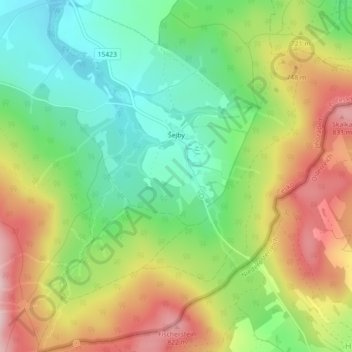
Name: Šejby topographic map, elevation, terrain.
Location: Šejby, Horní Stropnice, okres České Budějovice, Czechia (48.70936 14.75717 48.73884 14.79863)
Average elevation: 691 m
Minimum elevation: 578 m
Maximum elevation: 839 m
Thank you for supporting this site ❤️
Make a donation
Make a donation