
Thank you for supporting this site ❤️
Make a donation
Make a donation
Bağlıca topographic map
Click on the map to display elevation.
Thank you for supporting this site ❤️
Make a donation
Make a donation
About this map
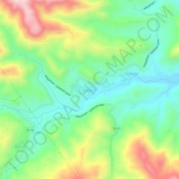
Name: Bağlıca topographic map, elevation, terrain.
Location: Bağlıca, Adıyaman, Southeastern Anatolia Region, Turkey (37.91578 38.25701 37.95578 38.29701)
Average elevation: 1,182 m
Minimum elevation: 1,006 m
Maximum elevation: 1,496 m
Thank you for supporting this site ❤️
Make a donation
Make a donation