
Thank you for supporting this site ❤️
Make a donation
Make a donation
Tân An topographic map
Click on the map to display elevation.
Thank you for supporting this site ❤️
Make a donation
Make a donation
About this map
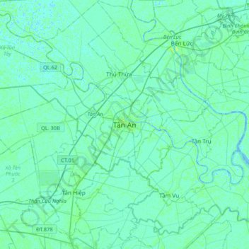
Name: Tân An topographic map, elevation, terrain.
Location: Tân An, Phường Long An, Tây Ninh Province, Vietnam (10.37647 106.24990 10.69647 106.56990)
Average elevation: 3 m
Minimum elevation: -2 m
Maximum elevation: 12 m
Thank you for supporting this site ❤️
Make a donation
Make a donation