
Thank you for supporting this site ❤️
Make a donation
Make a donation
Núgvan topographic map
Click on the map to display elevation.
Thank you for supporting this site ❤️
Make a donation
Make a donation
About this map
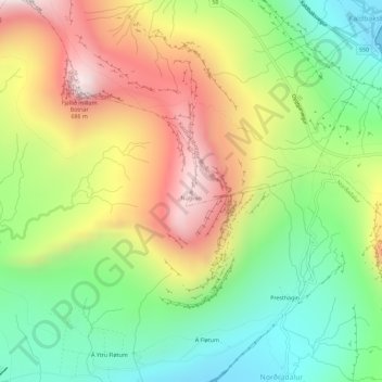
Name: Núgvan topographic map, elevation, terrain.
Location: Núgvan, Norðadalur, Streymoyar sýsla, 178, Færøerne (62.05314 -6.94063 62.05324 -6.94053)
Average elevation: 290 m
Minimum elevation: 0 m
Maximum elevation: 666 m
Thank you for supporting this site ❤️
Make a donation
Make a donation