
Thank you for supporting this site ❤️
Make a donation
Make a donation
Le Brassus topographic map
Click on the map to display elevation.
Thank you for supporting this site ❤️
Make a donation
Make a donation
About this map
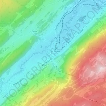
Name: Le Brassus topographic map, elevation, terrain.
Average elevation: 1,152 m
Minimum elevation: 1,007 m
Maximum elevation: 1,431 m
Thank you for supporting this site ❤️
Make a donation
Make a donation
Other topographic maps
Click on a map to view its topography, its elevation and its terrain.
Thank you for supporting this site ❤️
Make a donation
Make a donation
Tévenon
Switzerland > Vaud > District du Jura-Nord vaudois
After the four municipalities fused in 2011 it gave Tévenon a surface area of 1426 ha (14.26 square km). Villars-Burquin had a surface area of 481 ha (4.81 square km), Vaugondry had one of 84 ha (0.84 square km), Romairaon had one of 489 ha (4.89 square km) and Fontanezier had one of 372 ha (3.72 square km).…
Average elevation: 1,061 m
Thank you for supporting this site ❤️
Make a donation
Make a donation
Thank you for supporting this site ❤️
Make a donation
Make a donation