
Thank you for supporting this site ❤️
Make a donation
Make a donation
Vedevåg topographic map
Click on the map to display elevation.
Thank you for supporting this site ❤️
Make a donation
Make a donation
About this map
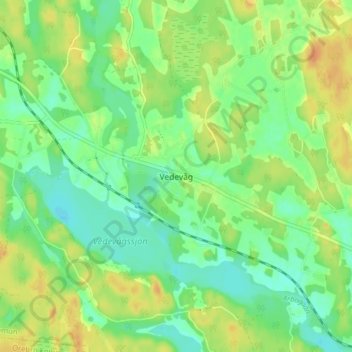
Name: Vedevåg topographic map, elevation, terrain.
Location: Vedevåg, Lindesbergs kommun, Örebro län, 711 72, Zweden (59.50471 15.27799 59.54471 15.31799)
Average elevation: 56 m
Minimum elevation: 42 m
Maximum elevation: 73 m
Thank you for supporting this site ❤️
Make a donation
Make a donation
Other topographic maps
Click on a map to view its topography, its elevation and its terrain.