
Thank you for supporting this site ❤️
Make a donation
Make a donation
Trossachs topographic map
Click on the map to display elevation.
Thank you for supporting this site ❤️
Make a donation
Make a donation
About this map
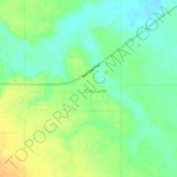
Name: Trossachs topographic map, elevation, terrain.
Location: Trossachs, Saskatchewan, Canada (49.63515 -104.23091 49.64204 -104.22238)
Average elevation: 607 m
Minimum elevation: 593 m
Maximum elevation: 623 m
Thank you for supporting this site ❤️
Make a donation
Make a donation
Other topographic maps
Click on a map to view its topography, its elevation and its terrain.