
Thank you for supporting this site ❤️
Make a donation
Make a donation
Meløy topographic map
Click on the map to display elevation.
Thank you for supporting this site ❤️
Make a donation
Make a donation
About this map
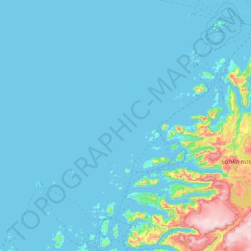
Name: Meløy topographic map, elevation, terrain.
Location: Meløy, Nordland, Norway (66.62042 12.34414 67.27540 14.41901)
Average elevation: 111 m
Minimum elevation: -3 m
Maximum elevation: 1,578 m
Thank you for supporting this site ❤️
Make a donation
Make a donation
Other topographic maps
Click on a map to view its topography, its elevation and its terrain.