
Thank you for supporting this site ❤️
Make a donation
Make a donation
Sarıveliler topographic map
Click on the map to display elevation.
Thank you for supporting this site ❤️
Make a donation
Make a donation
About this map
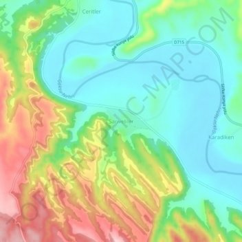
Name: Sarıveliler topographic map, elevation, terrain.
Location: Sarıveliler, Mut, Mersin, Mediterranean Region, Turkey (36.50408 33.43624 36.54408 33.47624)
Average elevation: 163 m
Minimum elevation: 91 m
Maximum elevation: 295 m
Thank you for supporting this site ❤️
Make a donation
Make a donation