
Thank you for supporting this site ❤️
Make a donation
Make a donation
Rávan topographic map
Click on the map to display elevation.
Thank you for supporting this site ❤️
Make a donation
Make a donation
About this map
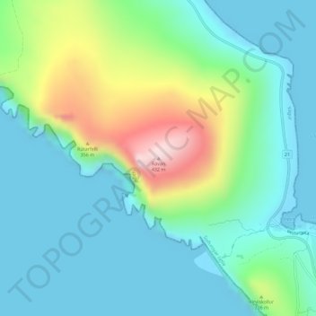
Name: Rávan topographic map, elevation, terrain.
Location: Rávan, Vágur, Suðuroyar sýsla, 900, Færøerne (61.45002 -6.80095 61.45012 -6.80085)
Average elevation: 108 m
Minimum elevation: -15 m
Maximum elevation: 432 m
Thank you for supporting this site ❤️
Make a donation
Make a donation