
Thank you for supporting this site ❤️
Make a donation
Make a donation
Laðanfelli topographic map
Click on the map to display elevation.
Thank you for supporting this site ❤️
Make a donation
Make a donation
About this map
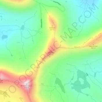
Name: Laðanfelli topographic map, elevation, terrain.
Location: Laðanfelli, Fámjin, Suðuroyar sýsla, 870, Færøerne (61.51217 -6.83165 61.51227 -6.83155)
Average elevation: 258 m
Minimum elevation: 93 m
Maximum elevation: 569 m
Thank you for supporting this site ❤️
Make a donation
Make a donation