
Thank you for supporting this site ❤️
Make a donation
Make a donation
Lítlafelli topographic map
Click on the map to display elevation.
Thank you for supporting this site ❤️
Make a donation
Make a donation
About this map
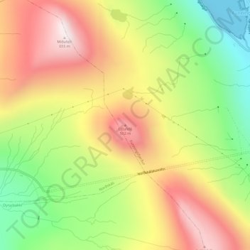
Name: Lítlafelli topographic map, elevation, terrain.
Location: Lítlafelli, Funningsfjørður, Eysturoyar sýsla, 477, Færøerne (62.22588 -6.96065 62.22598 -6.96055)
Average elevation: 330 m
Minimum elevation: 0 m
Maximum elevation: 652 m
Thank you for supporting this site ❤️
Make a donation
Make a donation