
Thank you for supporting this site ❤️
Make a donation
Make a donation
Östra Löa topographic map
Click on the map to display elevation.
Thank you for supporting this site ❤️
Make a donation
Make a donation
About this map
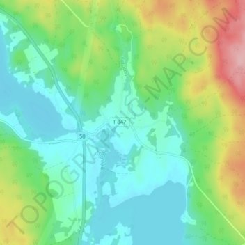
Name: Östra Löa topographic map, elevation, terrain.
Location: Östra Löa, Lindesbergs kommun, Örebro län, 714 94, Zweden (59.78285 15.14543 59.82285 15.18543)
Average elevation: 138 m
Minimum elevation: 94 m
Maximum elevation: 243 m
Thank you for supporting this site ❤️
Make a donation
Make a donation
Other topographic maps
Click on a map to view its topography, its elevation and its terrain.