
Thank you for supporting this site ❤️
Make a donation
Make a donation
Edegem topographic map
Click on the map to display elevation.
Thank you for supporting this site ❤️
Make a donation
Make a donation
About this map
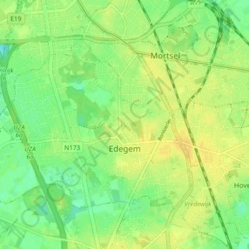
Name: Edegem topographic map, elevation, terrain.
Location: Edegem, Antwerp, Flanders, 2650, Belgium (51.14444 4.39700 51.17321 4.46371)
Average elevation: 16 m
Minimum elevation: 3 m
Maximum elevation: 25 m
Thank you for supporting this site ❤️
Make a donation
Make a donation
Other topographic maps
Click on a map to view its topography, its elevation and its terrain.
Thank you for supporting this site ❤️
Make a donation
Make a donation
Thank you for supporting this site ❤️
Make a donation
Make a donation