
Thank you for supporting this site ❤️
Make a donation
Make a donation
Karagöl topographic map
Click on the map to display elevation.
Thank you for supporting this site ❤️
Make a donation
Make a donation
About this map
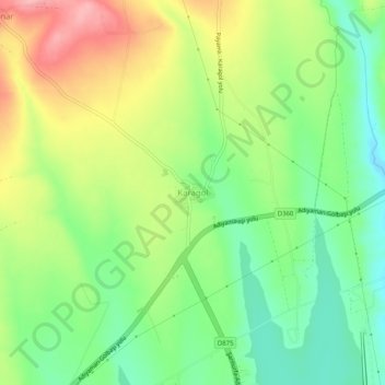
Name: Karagöl topographic map, elevation, terrain.
Location: Karagöl, Adıyaman, Southeastern Anatolia Region, Turkey (37.70146 38.11855 37.74146 38.15855)
Average elevation: 674 m
Minimum elevation: 620 m
Maximum elevation: 749 m
Thank you for supporting this site ❤️
Make a donation
Make a donation