
Thank you for supporting this site ❤️
Make a donation
Make a donation
Andøy topographic map
Click on the map to display elevation.
Thank you for supporting this site ❤️
Make a donation
Make a donation
About this map
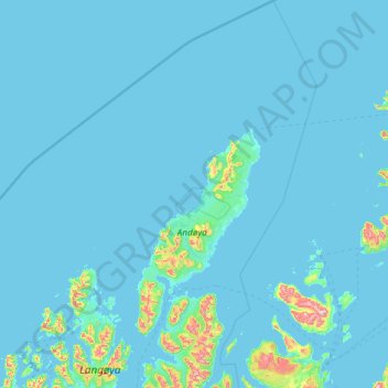
Name: Andøy topographic map, elevation, terrain.
Location: Andøy, Nordland, Norway (68.75986 15.02208 69.59670 16.51764)
Average elevation: 31 m
Minimum elevation: -1 m
Maximum elevation: 963 m
Thank you for supporting this site ❤️
Make a donation
Make a donation
Other topographic maps
Click on a map to view its topography, its elevation and its terrain.