
Thank you for supporting this site ❤️
Make a donation
Make a donation
Slættaratindur topographic map
Click on the map to display elevation.
Thank you for supporting this site ❤️
Make a donation
Make a donation
About this map
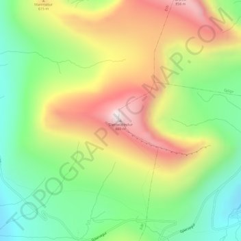
Name: Slættaratindur topographic map, elevation, terrain.
Location: Slættaratindur, Funningur, Eysturoyar sýsla, 475, Færøerne (62.29667 -7.01325 62.29677 -7.01315)
Average elevation: 478 m
Minimum elevation: 160 m
Maximum elevation: 890 m
Thank you for supporting this site ❤️
Make a donation
Make a donation