
Thank you for supporting this site ❤️
Make a donation
Make a donation
Høganes topographic map
Click on the map to display elevation.
Thank you for supporting this site ❤️
Make a donation
Make a donation
About this map
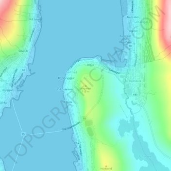
Name: Høganes topographic map, elevation, terrain.
Location: Høganes, Toftir, Eysturoyar sýsla, 650, Færøerne (62.10680 -6.73780 62.10690 -6.73770)
Average elevation: 33 m
Minimum elevation: -6 m
Maximum elevation: 217 m
Thank you for supporting this site ❤️
Make a donation
Make a donation