
Thank you for supporting this site ❤️
Make a donation
Make a donation
Lesignano de' Bagni topographic map
Click on the map to display elevation.
Thank you for supporting this site ❤️
Make a donation
Make a donation
About this map
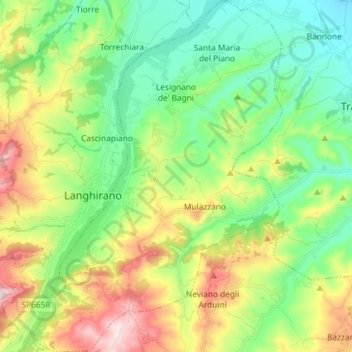
Name: Lesignano de' Bagni topographic map, elevation, terrain.
Location: Lesignano de' Bagni, Parma, Emilia-Romagna, 43037, Italy (44.56682 10.24011 44.67059 10.34490)
Average elevation: 328 m
Minimum elevation: 143 m
Maximum elevation: 686 m
Thank you for supporting this site ❤️
Make a donation
Make a donation
Other topographic maps
Click on a map to view its topography, its elevation and its terrain.