
Thank you for supporting this site ❤️
Make a donation
Make a donation
Baraque Michel topographic map
Click on the map to display elevation.
Thank you for supporting this site ❤️
Make a donation
Make a donation
About this map
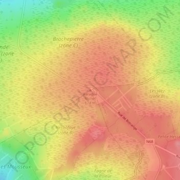
Name: Baraque Michel topographic map, elevation, terrain.
Location: Baraque Michel, Jalhay, Verviers, Liège, Wallonia, 4845, Belgium (50.51874 6.06239 50.51884 6.06249)
Average elevation: 652 m
Minimum elevation: 593 m
Maximum elevation: 686 m
Thank you for supporting this site ❤️
Make a donation
Make a donation