
Thank you for supporting this site ❤️
Make a donation
Make a donation
Bintan topographic map
Click on the map to display elevation.
Thank you for supporting this site ❤️
Make a donation
Make a donation
About this map
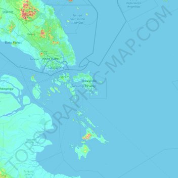
Name: Bintan topographic map, elevation, terrain.
Location: Bintan, Riau Islands, Sumatra, Indonesia (0.09936 104.21381 1.58502 108.04456)
Average elevation: 8 m
Minimum elevation: -3 m
Maximum elevation: 942 m
Thank you for supporting this site ❤️
Make a donation
Make a donation
Other topographic maps
Click on a map to view its topography, its elevation and its terrain.