
Thank you for supporting this site ❤️
Make a donation
Make a donation
Atlıdere topographic map
Click on the map to display elevation.
Thank you for supporting this site ❤️
Make a donation
Make a donation
About this map
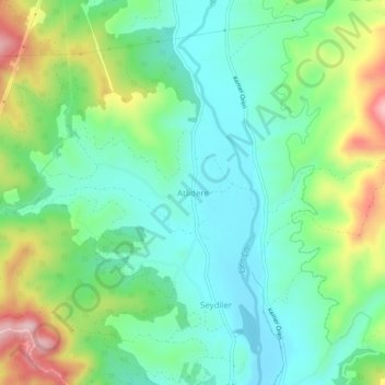
Name: Atlıdere topographic map, elevation, terrain.
Location: Atlıdere, Seydikemer, Muğla, Aegean Region, 48850, Turkey (36.65962 29.34298 36.69962 29.38298)
Average elevation: 212 m
Minimum elevation: 127 m
Maximum elevation: 401 m
Thank you for supporting this site ❤️
Make a donation
Make a donation