
Make a donation
Victoria topographic map
Click on the map to display elevation.
Make a donation
Victoria
Victoria, British Columbia, is situated on the southern tip of Vancouver Island, Canada, and boasts a diverse and varied topography. The city is characterized by rolling hills, rugged coastal cliffs, and lush valleys, providing a striking contrast between mountainous terrain and flatland areas. To the north and west, the land gradually rises into the Saanich Peninsula and the Malahat mountain range, with steep slopes offering spectacular views of the surrounding coastline. Victoria's landscape is further shaped by its proximity to the Pacific Ocean, with rocky shorelines, tidal flats, and sheltered coves. The region also features several parks and green spaces, including the famous Butchart Gardens, where the landscape’s natural beauty is complemented by human-crafted gardens. This coastal and mountainous terrain makes Victoria a unique blend of wilderness and urban charm.
Make a donation
About this map
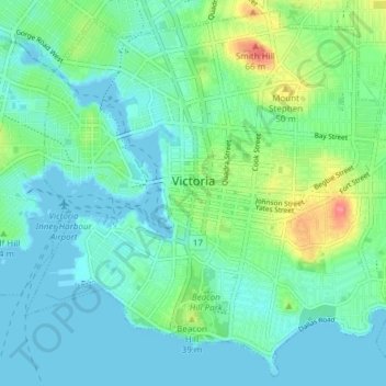
Name: Victoria topographic map, elevation, terrain.
Average elevation: 17 m
Minimum elevation: -1 m
Maximum elevation: 75 m
Make a donation
Other topographic maps
Click on a map to view its topography, its elevation and its terrain.