
caïdat de Gharbia قيادة غربية topographic map
Interactive map
Click on the map to display elevation.
About this map
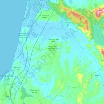
Name: caïdat de Gharbia قيادة غربية topographic map, elevation, terrain.
Average elevation: 47 m
Minimum elevation: -3 m
Maximum elevation: 365 m